Calcule o frete:
Para envios internacionais, simule o frete no carrinho de compras.
Sinopse
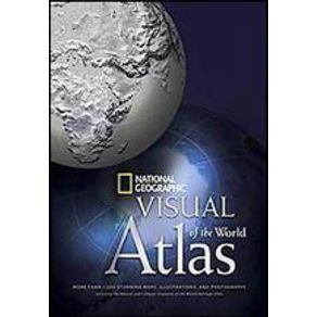
Thematic maps enhance the global coverage, detailing trends and characteristics of today’s critical issues: natural resources, energy, population, religion, economy and trade, conflict, climate change. The latest political boundaries and country names are incorporated, as well as vital information on the oceans, space, national flags, and more. Engaging layouts, functional design, and a new comprehensive place-name index allow the reader to easily navigate around the globe to discover or confirm more than 50,000 locations. The supreme accuracy and practicality of the maps, charts, and country facts and tables—as well as the inspirational collection of more than 600 photographs, satellite images, and illustrations—make the National Geographic Visual Atlas of the World a must-have reference for families, travelers, students, and scholars.
Ficha Técnica
Especificações
| ISBN | 9781426203329 |
|---|---|
| Pré venda | Não |
| Peso | 464g |
| Autor para link | NATIONAL GEOGRAPHIC |
| Livro disponível - pronta entrega | Não |
| Dimensões | 23 x 16 x 1 |
| Tipo item | Livro Importado |
| Número de páginas | 416 |
| Número da edição | 1ª EDIÇÃO - 2008 |
| Código Interno | 526638 |
| Código de barras | 9781426203329 |
| Acabamento | HARDCOVER |
| Autor | NATIONAL GEOGRAPHIC |
| Editora | NATIONAL GEOGRAPHIC |
| Sob encomenda | Não |


